-

Houses up from Elmley Brook, Elmley Lovett
-
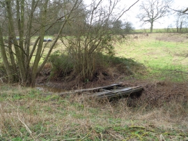
Tractor bridge over the Elmley Brook
Houses up from Elmley Brook, Elmley Lovett
Tractor bridge over the Elmley Brook
Location and coordinates are for the approximate centre of Upper Shooters Wood within this administrative area. Geographic features and populated places may cross administrative borders.