-

Awbridge Wildlife Reserve
-
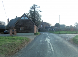
Dunbridge Lane becomes Stanbridge Lane
Awbridge Wildlife Reserve
Dunbridge Lane becomes Stanbridge Lane
Other current and historical names
Location and coordinates are for the approximate centre of Upper Ratley within this administrative area. Geographic features and populated places may cross administrative borders.