-
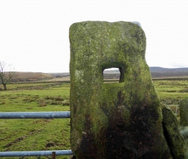
Low Moor moorland view (in Barnsley!)
-
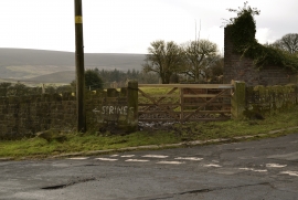
Strines
Low Moor moorland view (in Barnsley!)
Strines
Other current and historical names
Location and coordinates are for the approximate centre of Upper Midhope within this administrative area. Geographic features and populated places may cross administrative borders.