-
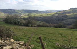
View from Langridge
-
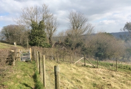
Path beside the lane
View from Langridge
Path beside the lane
Location and coordinates are for the approximate centre of Upper Langridge within this administrative area. Geographic features and populated places may cross administrative borders.