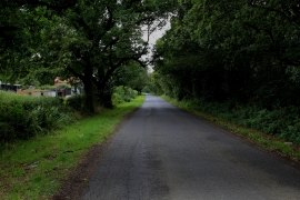
Upper Helmsley Common, North Yorkshire

« Gazetteer Entry
Upload Photo

Upper Helmsley Common, North Yorkshire

  • Parish/Community: Upper Helmsley
  • District/Borough: Ryedale
  • County: North Yorkshire
  • Region: Yorkshire and the Humber
  • Category: Landcover
  • Type: Other Landcover
  • Latitude/Longitude: 54°0'16"N 0°57'26"W
  • Eastings/Northings: 468439, 457006
  • OS Grid: SE684570
  • Mapcode Local: GBR PQR4.J6
  • Mapcode Global: WHFBZ.8LDV

Location and coordinates are for the approximate centre of Upper Helmsley Common within this administrative area. Geographic features and populated places may cross administrative borders.

BritishPlaceNames.uk is a Good Stuff website.