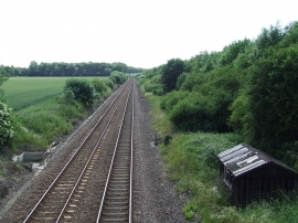
Upper Deal Belt, Norfolk

« Gazetteer Entry
Upload Photo

Upper Deal Belt, Norfolk

  • Parish/Community: Hethersett
  • District/Borough: South Norfolk
  • County: Norfolk
  • Region: Eastern
  • Category: Landcover
  • Type: Forest or Wood
  • Latitude/Longitude: 52°34'58"N 1°10'6"E
  • Eastings/Northings: 614756, 303064
  • OS Grid: TG147030
  • Mapcode Local: GBR VGV.26V
  • Mapcode Global: WHLSM.XBLN

Location and coordinates are for the approximate centre of Upper Deal Belt within this administrative area. Geographic features and populated places may cross administrative borders.

BritishPlaceNames.uk is a Good Stuff website.