-
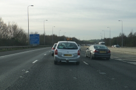
Tailback on the M5
-
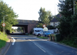
Now entering Catshill
Tailback on the M5
Now entering Catshill
Other current and historical names
Location and coordinates are for the approximate centre of Upper Catshill within this administrative area. Geographic features and populated places may cross administrative borders.