-
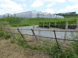
Frank P Matthews Nursery
-
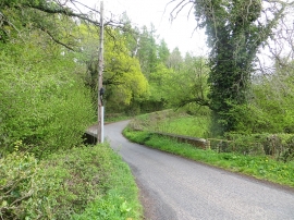
Bednal Bridge
Frank P Matthews Nursery
Bednal Bridge
Location and coordinates are for the approximate centre of Upper Berrington within this administrative area. Geographic features and populated places may cross administrative borders.