-
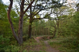
East Devon : Uphams Plantation
-
Wide forest track by Uphams Plantation
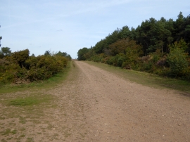
East Devon : Uphams Plantation
Wide forest track by Uphams Plantation
Location and coordinates are for the approximate centre of Uphams Plantation within this administrative area. Geographic features and populated places may cross administrative borders.