-
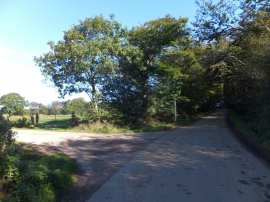
Upcott Wood and the road to Upcott (house)
-
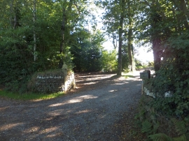
Buddha by a Devon road
Upcott Wood and the road to Upcott (house)
Buddha by a Devon road
Location and coordinates are for the approximate centre of Upcott Moor Plantation within this administrative area. Geographic features and populated places may cross administrative borders.