-
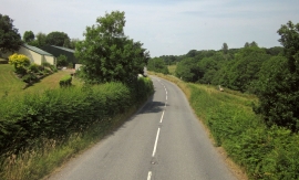
B3137 at Underhill
-
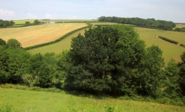
Little Silver Stream valley
B3137 at Underhill
Little Silver Stream valley
Location and coordinates are for the approximate centre of Underhill Plantation within this administrative area. Geographic features and populated places may cross administrative borders.