-

2011 : At the top of the hill, Catcombe
-
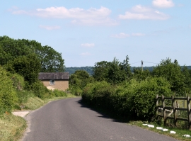
2011 : Lane on Beacon Hill
2011 : At the top of the hill, Catcombe
2011 : Lane on Beacon Hill
Location and coordinates are for the approximate centre of Under Sheriff's Clump within this administrative area. Geographic features and populated places may cross administrative borders.