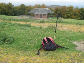
Umbrella Wood, Powys

« Gazetteer Entry
Upload Photo

Umbrella Wood, Powys

  • Parish/Community: Welshpool
  • Unitary Authority: Powys
  • Region: Wales
  • Category: Landcover
  • Type: Forest or Wood
  • Latitude/Longitude: 52°38'31"N 3°11'28"W
  • Eastings/Northings: 319499, 305589
  • OS Grid: SJ194055
  • Mapcode Local: GBR 9Y.6P08
  • Mapcode Global: WH79N.YVKC

Location and coordinates are for the approximate centre of Umbrella Wood within this administrative area. Geographic features and populated places may cross administrative borders.

BritishPlaceNames.uk is a Good Stuff website.