-
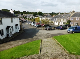
Ugborough village centre, from the church steps
-

Haredon Cross on A3121
Ugborough village centre, from the church steps
Haredon Cross on A3121
Other current and historical names
Location and coordinates are for the approximate centre of Ugborough within this administrative area. Geographic features and populated places may cross administrative borders.