-

Unsuitable route for motor vehicles, Tythegston
-
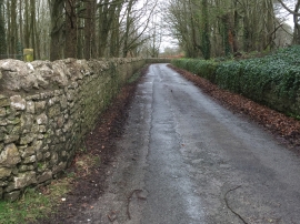
Road through Tythegston Estate
Unsuitable route for motor vehicles, Tythegston
Road through Tythegston Estate
Other current and historical names
Location and coordinates are for the approximate centre of Tythegston within this administrative area. Geographic features and populated places may cross administrative borders.