-
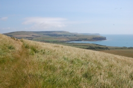
On the ranges path up Tyneham Cap
-
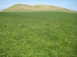
Tyneham Cap
On the ranges path up Tyneham Cap
Tyneham Cap
Location and coordinates are for the approximate centre of Tyneham Cap within this administrative area. Geographic features and populated places may cross administrative borders.