-
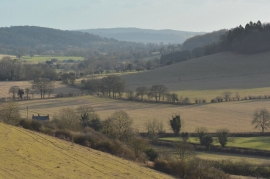
The Chilterns in January
-
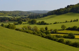
Farmland, Turville, Buckinghamshire
The Chilterns in January
Farmland, Turville, Buckinghamshire
Location and coordinates are for the approximate centre of Turville Hill within this administrative area. Geographic features and populated places may cross administrative borders.