-
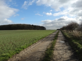
On Viking Way with Turton's Covert to the left
-
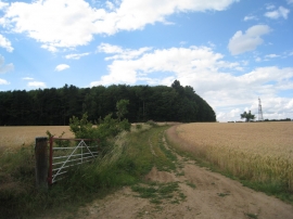
Looking towards Turton's Covert
On Viking Way with Turton's Covert to the left
Looking towards Turton's Covert
Location and coordinates are for the approximate centre of Turton's Covert within this administrative area. Geographic features and populated places may cross administrative borders.