-
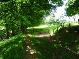
Light and shade on the footpath
-
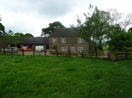
Farmhouse at Meadows Farm
Light and shade on the footpath
Farmhouse at Meadows Farm
Location and coordinates are for the approximate centre of Turner's Pool within this administrative area. Geographic features and populated places may cross administrative borders.