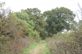
Trevalyn Meadows, Wrexham

« Gazetteer Entry
Upload Photo

Trevalyn Meadows, Wrexham

  • Parish/Community: Rossett
  • Unitary Authority: Wrexham
  • Region: Wales
  • Category: Landcover
  • Type: Other Landcover
  • Latitude/Longitude: 53°6'24"N 2°54'12"W
  • Eastings/Northings: 339611, 357009
  • OS Grid: SJ396570
  • Mapcode Local: GBR 79.89U5
  • Mapcode Global: WH88T.C5LL

Location and coordinates are for the approximate centre of Trevalyn Meadows within this administrative area. Geographic features and populated places may cross administrative borders.

BritishPlaceNames.uk is a Good Stuff website.