-
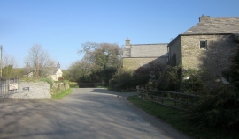
Lane at Trevadlock Manor
-
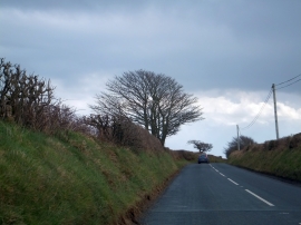
Solitary tree on road to Example Cross
Lane at Trevadlock Manor
Solitary tree on road to Example Cross
Location and coordinates are for the approximate centre of Trevadlock within this administrative area. Geographic features and populated places may cross administrative borders.