-
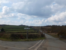
Signpost and cattle grid on Treslea Downs
-
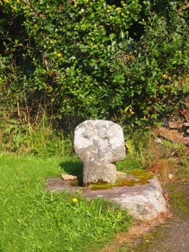
Roadside Cross, Mount
Signpost and cattle grid on Treslea Downs
Roadside Cross, Mount
Location and coordinates are for the approximate centre of Treslea Downs within this administrative area. Geographic features and populated places may cross administrative borders.