-
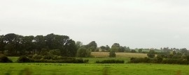
Yeo valley near Mudford
-
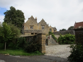
Subsidiary dwelling, Trent Manor
Yeo valley near Mudford
Subsidiary dwelling, Trent Manor
Location and coordinates are for the approximate centre of Trent Brook within this administrative area. Geographic features and populated places may cross administrative borders.