-
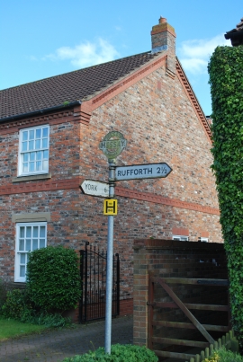
Signpost at the junction of Main Street, Shirbutt Lane & New Road, Hessay
-

St Johns Church, Hessay
Signpost at the junction of Main Street, Shirbutt Lane & New Road, Hessay
St Johns Church, Hessay
Location and coordinates are for the approximate centre of Town Pond within this administrative area. Geographic features and populated places may cross administrative borders.