-
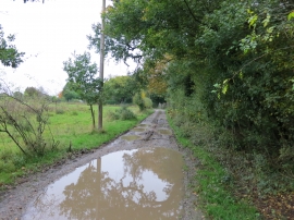
Bridleway BW 1886/1
-
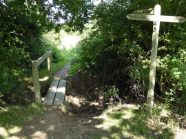
Footpath junction on the Knepp Estate
Bridleway BW 1886/1
Footpath junction on the Knepp Estate
Location and coordinates are for the approximate centre of Tory Copse within this administrative area. Geographic features and populated places may cross administrative borders.