-

Converted church at Tomnavoulin
-
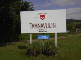
Sorry no visitors !
Converted church at Tomnavoulin
Sorry no visitors !
Location and coordinates are for the approximate centre of Tomnavoulin within this administrative area. Geographic features and populated places may cross administrative borders.