-
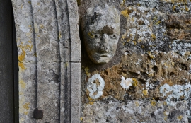
Toller Fratrum, St. Basil's Church: South porch right hand label stop
-
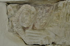
Toller Fratrum, St. Basil's Church: Sculpture reset on the east wall of the chancel 2
Toller Fratrum, St. Basil's Church: South porch right hand label stop
Toller Fratrum, St. Basil's Church: Sculpture reset on the east wall of the chancel 2
Location and coordinates are for the approximate centre of Toller Fratrum within this administrative area. Geographic features and populated places may cross administrative borders.