-

A19 Askern Road in Toll Bar
-
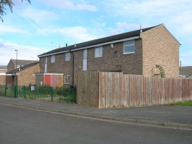
Houses, Manor Estate
A19 Askern Road in Toll Bar
Houses, Manor Estate
Location and coordinates are for the approximate centre of Toll Bar within this administrative area. Geographic features and populated places may cross administrative borders.