-
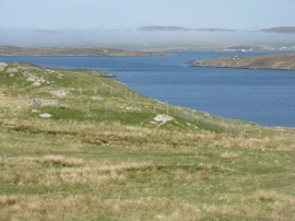
Low cloud over Great Bernera
-
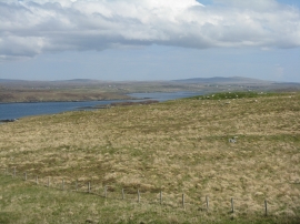
Rough pasture near Lundale
Low cloud over Great Bernera
Rough pasture near Lundale
Other current and historical names
Location and coordinates are for the approximate centre of Tobhtaral within this administrative area. Geographic features and populated places may cross administrative borders.