-
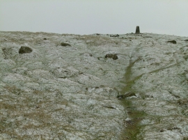
Titterstone Clee trig point
-
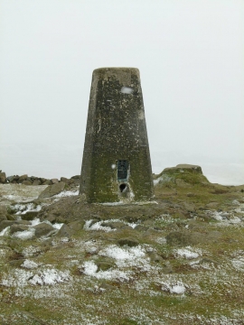
Titterstone Clee trig point
Titterstone Clee trig point
Titterstone Clee trig point
Location and coordinates are for the approximate centre of Titterstone Clee Hill within this administrative area. Geographic features and populated places may cross administrative borders.