-
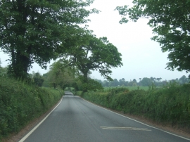
B3178 south of Colaton Raleigh
-
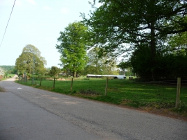
East Devon : Bicton College Lane
B3178 south of Colaton Raleigh
East Devon : Bicton College Lane
Location and coordinates are for the approximate centre of Tilke's Plantation within this administrative area. Geographic features and populated places may cross administrative borders.