-
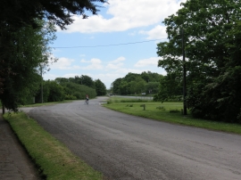
Access road from Tickton Grange Hotel to A1035
-
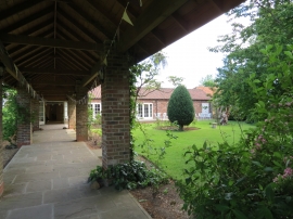
Covered way from access road to the Rose Room
Access road from Tickton Grange Hotel to A1035
Covered way from access road to the Rose Room
Location and coordinates are for the approximate centre of Tickton Bridge Plantations within this administrative area. Geographic features and populated places may cross administrative borders.