-
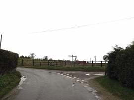
White Heath Road, Bergh Apton
-
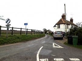
Lion Lane, Bergh Apton
White Heath Road, Bergh Apton
Lion Lane, Bergh Apton
Location and coordinates are for the approximate centre of Thurton within this administrative area. Geographic features and populated places may cross administrative borders.