-
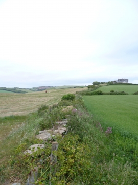
The Downs - Thurlestone
-

Valley of Buckland Stream, Bantham and River Avon
The Downs - Thurlestone
Valley of Buckland Stream, Bantham and River Avon
Other current and historical names
Location and coordinates are for the approximate centre of Thurlestone within this administrative area. Geographic features and populated places may cross administrative borders.