-
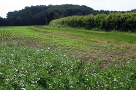
Footpath leading to Thrift Wood
-
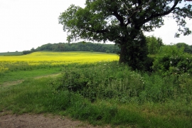
Oak at the paths cross Thrift Wood is beyond
Footpath leading to Thrift Wood
Oak at the paths cross Thrift Wood is beyond
Location and coordinates are for the approximate centre of Thrift Wood within this administrative area. Geographic features and populated places may cross administrative borders.