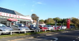
Three Cedar Wood, East Sussex

« Gazetteer Entry
Upload Photo

Three Cedar Wood, East Sussex

  • Parish/Community: Battle
  • District/Borough: Rother
  • County: East Sussex
  • Region: South East
  • Category: Landcover
  • Type: Forest or Wood
  • Latitude/Longitude: 50°53'54"N 0°31'48"E
  • Eastings/Northings: 578016, 114049
  • OS Grid: TQ780140
  • Mapcode Local: GBR PWP.NVC
  • Mapcode Global: FRA D60Q.LCG

Location and coordinates are for the approximate centre of Three Cedar Wood within this administrative area. Geographic features and populated places may cross administrative borders.

BritishPlaceNames.uk is a Good Stuff website.