-
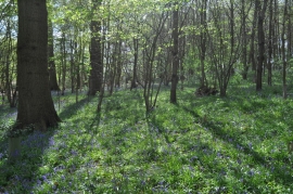
Bluebell Filled Sisland Wood
-
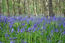
Bluebells in the Wood
Bluebell Filled Sisland Wood
Bluebells in the Wood
Location and coordinates are for the approximate centre of Thorny Acacia Plantation within this administrative area. Geographic features and populated places may cross administrative borders.