-
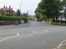
Frank Lane at Four Lane Ends in Thornhill
-

The church of St. Michael, Thornhill
Frank Lane at Four Lane Ends in Thornhill
The church of St. Michael, Thornhill
Location and coordinates are for the approximate centre of Thornhill within this administrative area. Geographic features and populated places may cross administrative borders.