-

Forest Farm, Shotover
-
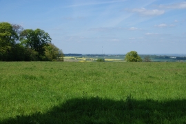
Grassland on Shotover Hill
Forest Farm, Shotover
Grassland on Shotover Hill
Location and coordinates are for the approximate centre of Thornhill Clump within this administrative area. Geographic features and populated places may cross administrative borders.