-
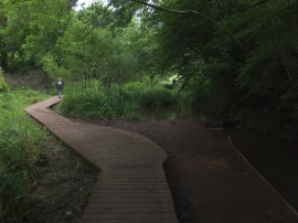
Boardwalk in Cockington Meadows
-
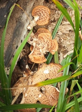
Fungi by Cockington Stream
Boardwalk in Cockington Meadows
Fungi by Cockington Stream
Location and coordinates are for the approximate centre of Thornhill Brake within this administrative area. Geographic features and populated places may cross administrative borders.