-
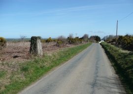
Triangulation pillar, Thorne Moor, Buckland Brewer
-
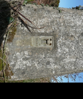
Benchmark on the triangulation pillar, Thorne Moor, Buckland Brewer
Triangulation pillar, Thorne Moor, Buckland Brewer
Benchmark on the triangulation pillar, Thorne Moor, Buckland Brewer
Location and coordinates are for the approximate centre of Thorne Moor within this administrative area. Geographic features and populated places may cross administrative borders.