-
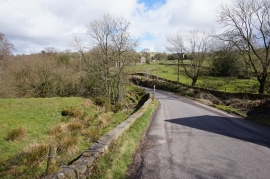
Ankors Lane, Thorncliffe
-
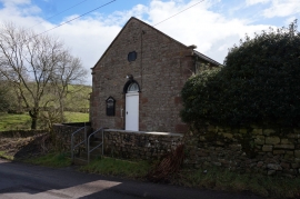
Methodist Chapel
Ankors Lane, Thorncliffe
Methodist Chapel
Location and coordinates are for the approximate centre of Thorncliffe within this administrative area. Geographic features and populated places may cross administrative borders.