-

Approaching Trondra
-
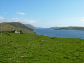
Clift sound seen from just north of Easterhoull
Approaching Trondra
Clift sound seen from just north of Easterhoull
Location and coordinates are for the approximate centre of The Taing within this administrative area. Geographic features and populated places may cross administrative borders.