-
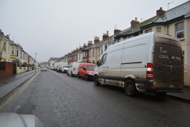
Exmouth : Victoria Road
-
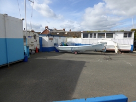
Exmouth Sea Cadets building and compound
Exmouth : Victoria Road
Exmouth Sea Cadets building and compound
Other current and historical names
Location and coordinates are for the approximate centre of The Point within this administrative area. Geographic features and populated places may cross administrative borders.