-

Dead tree near road, Blackmore End
-
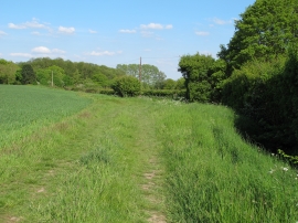
Footpath near Slotslough Bridge, Blackmore End
Dead tree near road, Blackmore End
Footpath near Slotslough Bridge, Blackmore End
Location and coordinates are for the approximate centre of The Old Hall Plantation within this administrative area. Geographic features and populated places may cross administrative borders.