-

Track up to Tittensor Hill
-
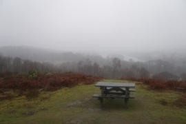
Picnic table on Tittensor Hill
Track up to Tittensor Hill
Picnic table on Tittensor Hill
Location and coordinates are for the approximate centre of The Oaks within this administrative area. Geographic features and populated places may cross administrative borders.