-

Harnage hamlet
-
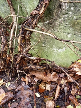
OS benchmark - Harnage, building SW side of road
Harnage hamlet
OS benchmark - Harnage, building SW side of road
Location and coordinates are for the approximate centre of The Lawns within this administrative area. Geographic features and populated places may cross administrative borders.