-
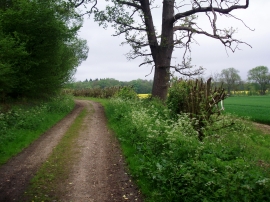
Public Right of Way Through Hatfield House Estate
-
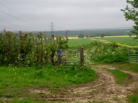
Farmland from Public Right of Way Through Hatfield House Estate
Public Right of Way Through Hatfield House Estate
Farmland from Public Right of Way Through Hatfield House Estate
Location and coordinates are for the approximate centre of The Furze Field within this administrative area. Geographic features and populated places may cross administrative borders.