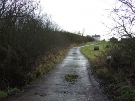
The Forest, Hambleton

« Gazetteer Entry
Upload Photo

The Forest, Hambleton

  • Parish/Community: Kirklevington
  • Unitary Authority: Hambleton
  • Region: North East
  • Category: Landcover
  • Type: Other Landcover
  • Latitude/Longitude: 54°28'47"N 1°21'42"W
  • Eastings/Northings: 441442, 509572
  • OS Grid: NZ414095
  • Mapcode Local: GBR LJXM.YW
  • Mapcode Global: WHD7B.1NQL

Location and coordinates are for the approximate centre of The Forest within this administrative area. Geographic features and populated places may cross administrative borders.

BritishPlaceNames.uk is a Good Stuff website.