-
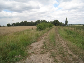
Track to Haldenby Park
-
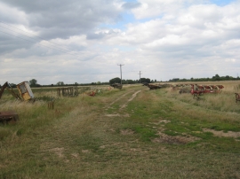
Farming scrap
Track to Haldenby Park
Farming scrap
Location and coordinates are for the approximate centre of The Flats within this administrative area. Geographic features and populated places may cross administrative borders.